Foxcroft Heights Neighborhood
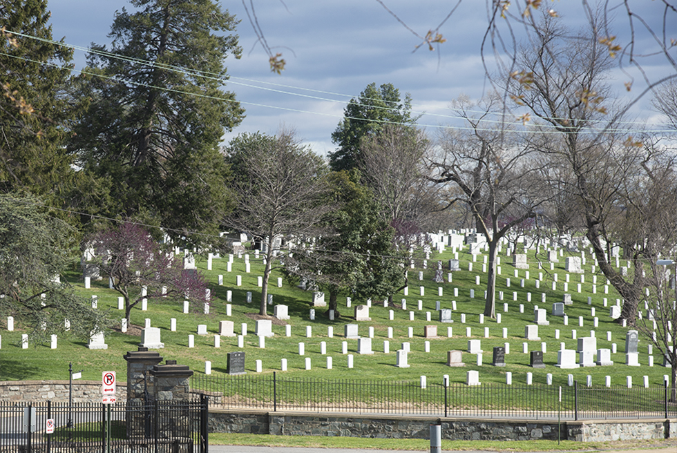
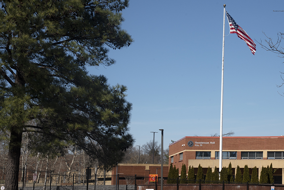
March 30, 2022Boundries: Northern: National Cemetery & Marines Henderson Hall, Southern: Washington Blvd, Western: Washington Blvd, Eastern: S. Joyce Street
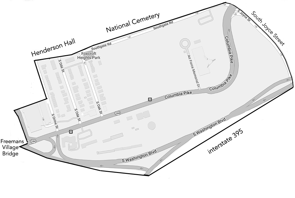
Foxcroft Heights starts as soon as Columbia Pike emerges from under Freemans Village Bridge on the eastern side.
There are plans for the National Cemetery to extend into this area and close Southgate Road. Part of Columbia Pike will be rerouted towards I-395 and Foxcoft Heights Park will be enlarged. More information at: Federal Highway Administration and Final Placement Overview
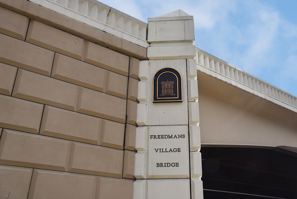
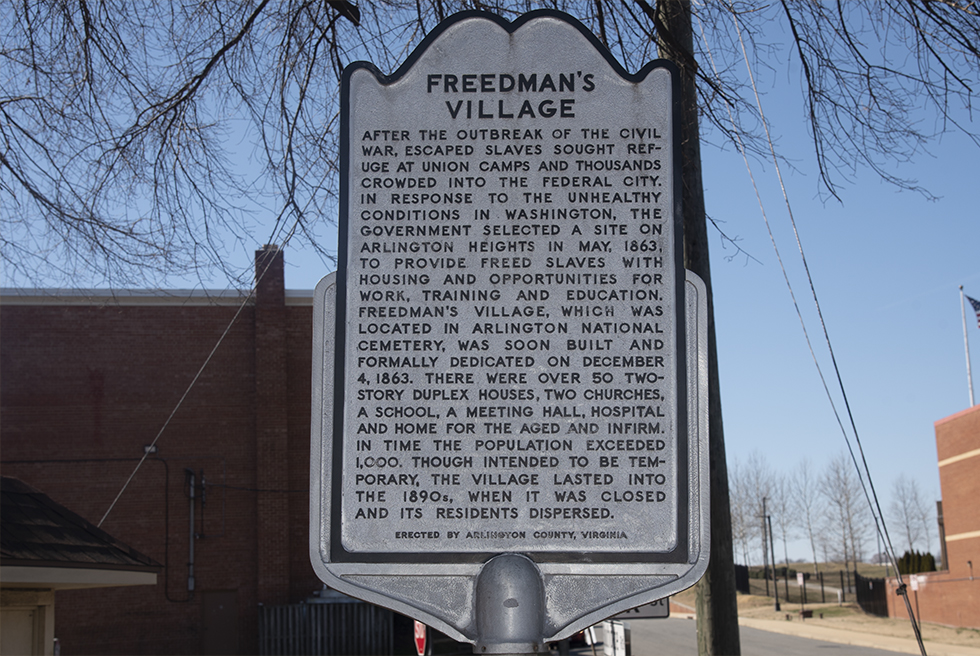
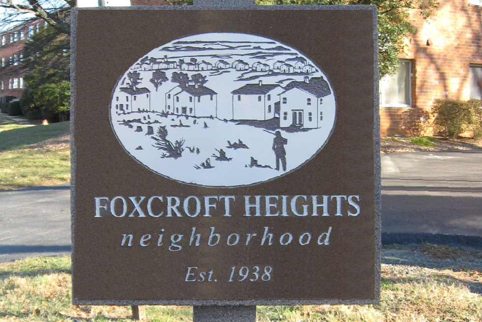
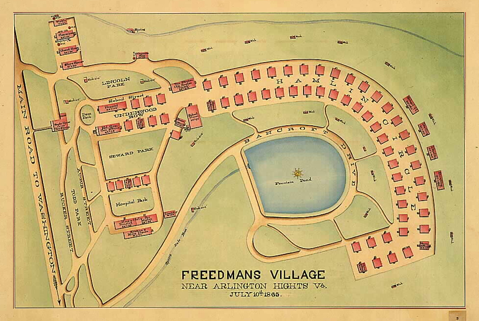
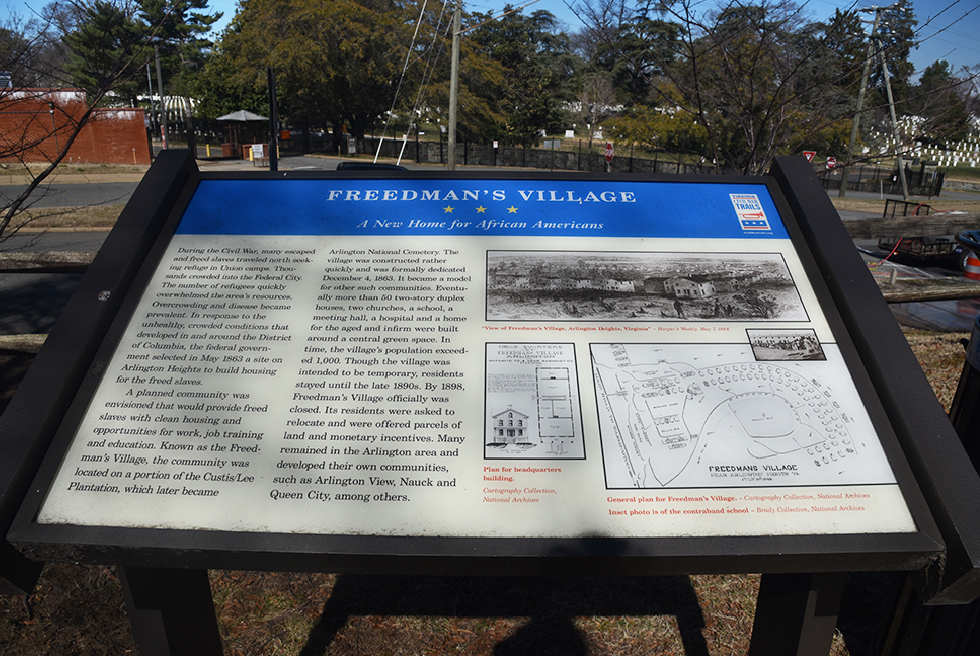
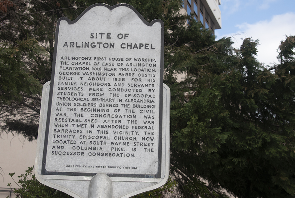
The Foxcroft Heights Neighborhood was established in 1938. The neightborhood stands on part of the area that was once Freemans Village, which was founded in 1863 for freed slaves. It contained housing, a school, two churches a hospital, and more. Freemans Village was forced to close in the late 1890tys and many of its inhabitants moved to diffent areas of the Pike including what is now Penrose, Arlington View and Green Valley.
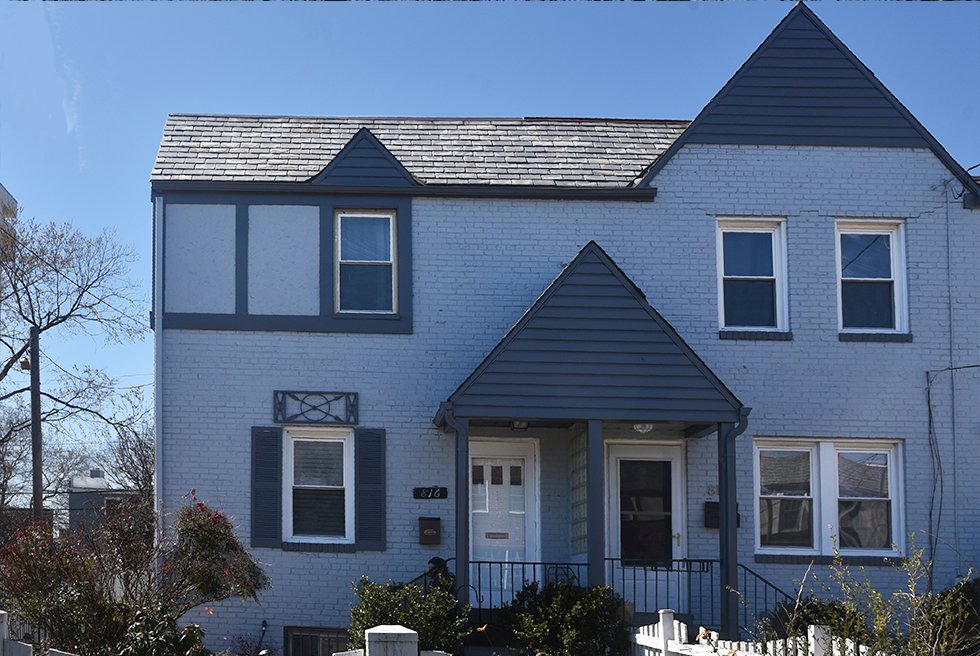
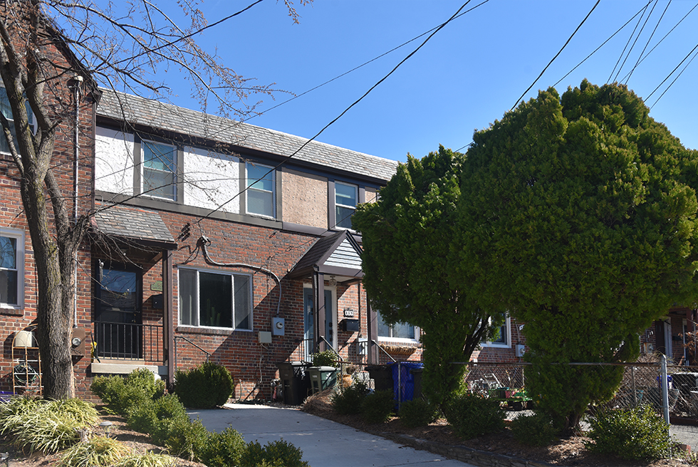
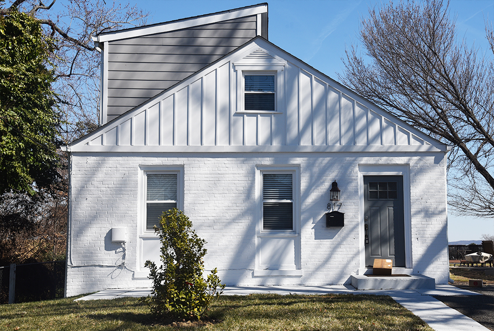
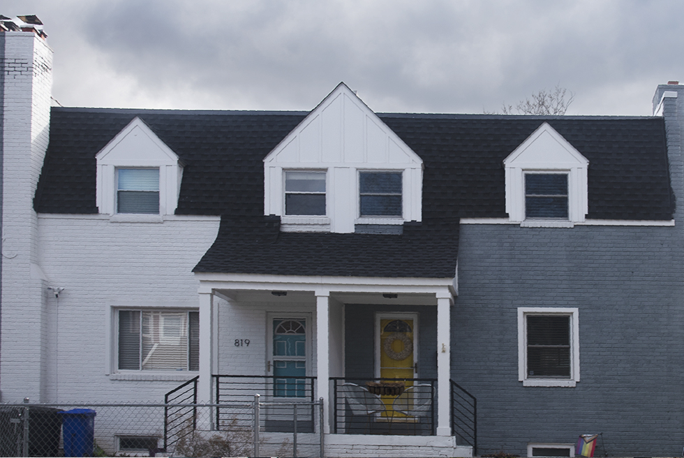
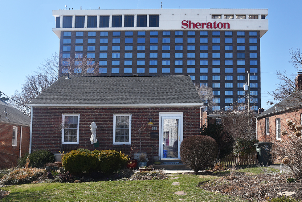
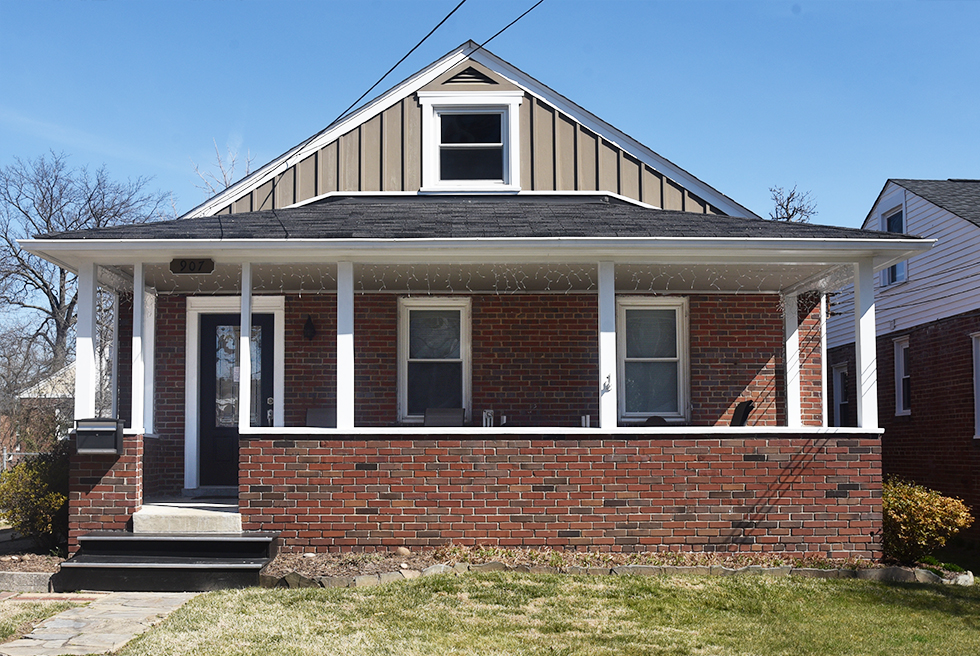
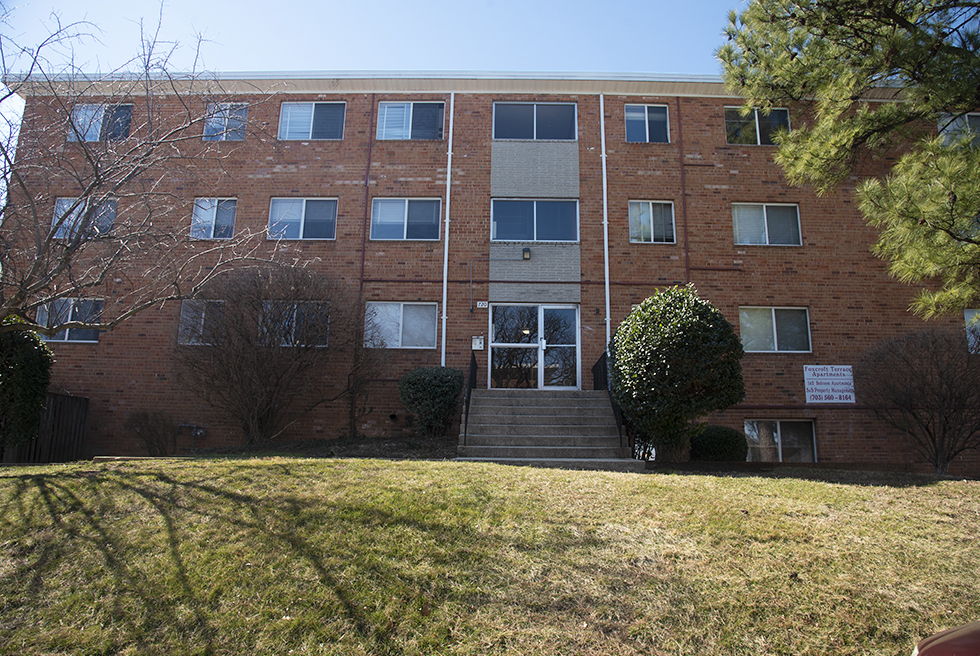
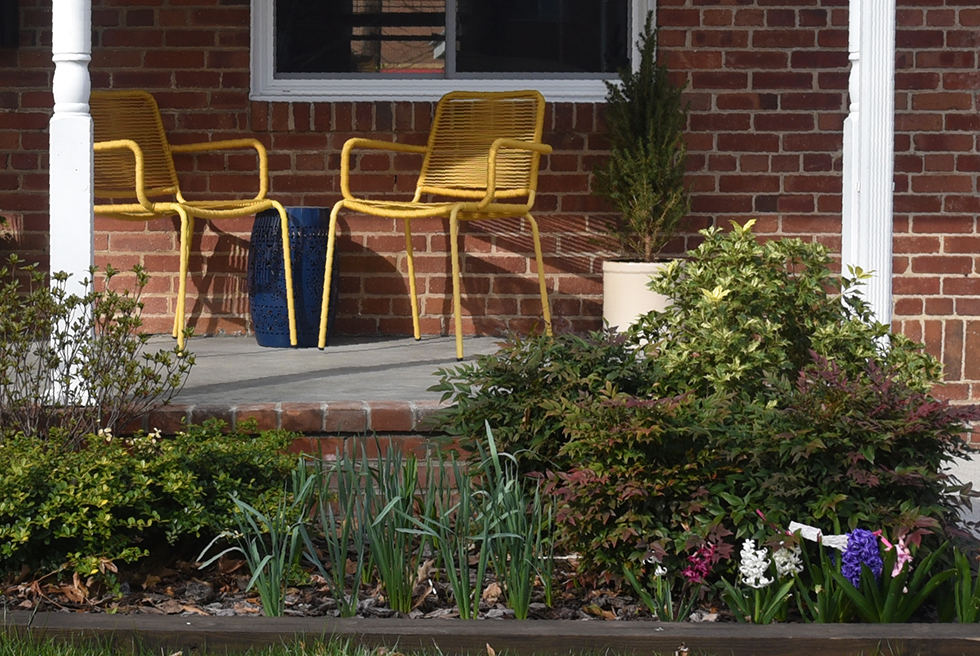
Just three streets makeup the neighborhoods' housing.
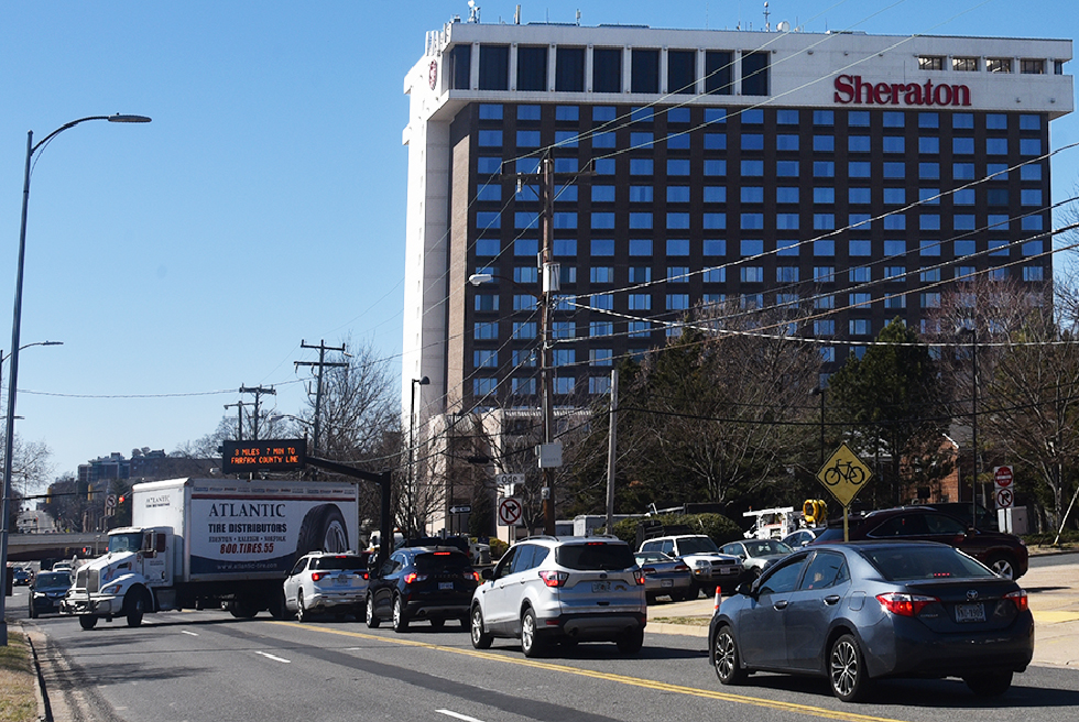
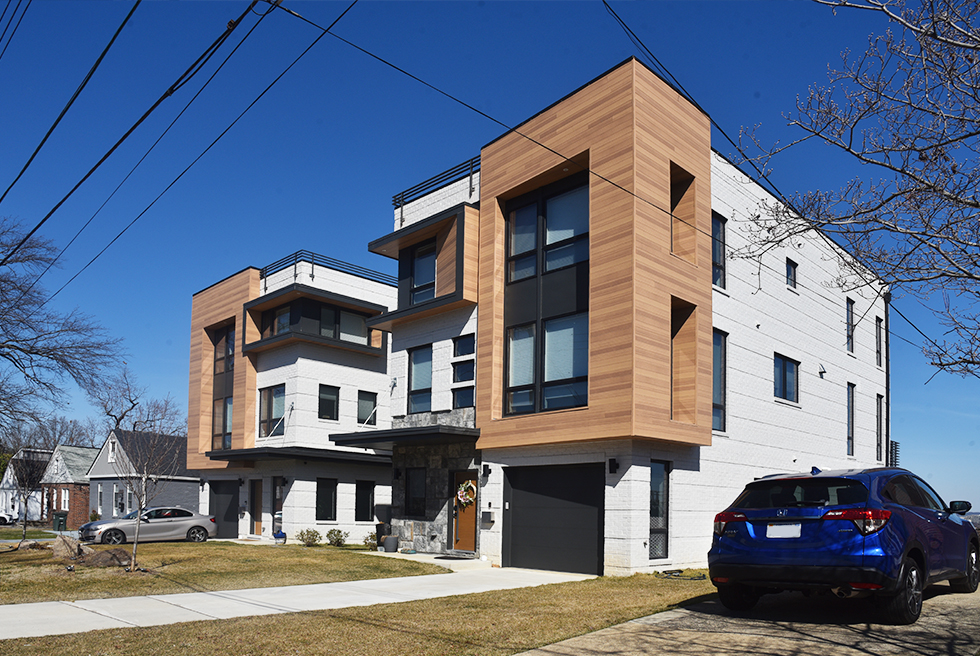
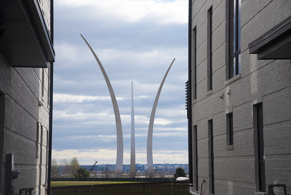
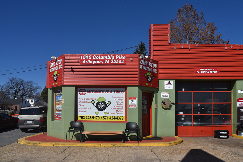
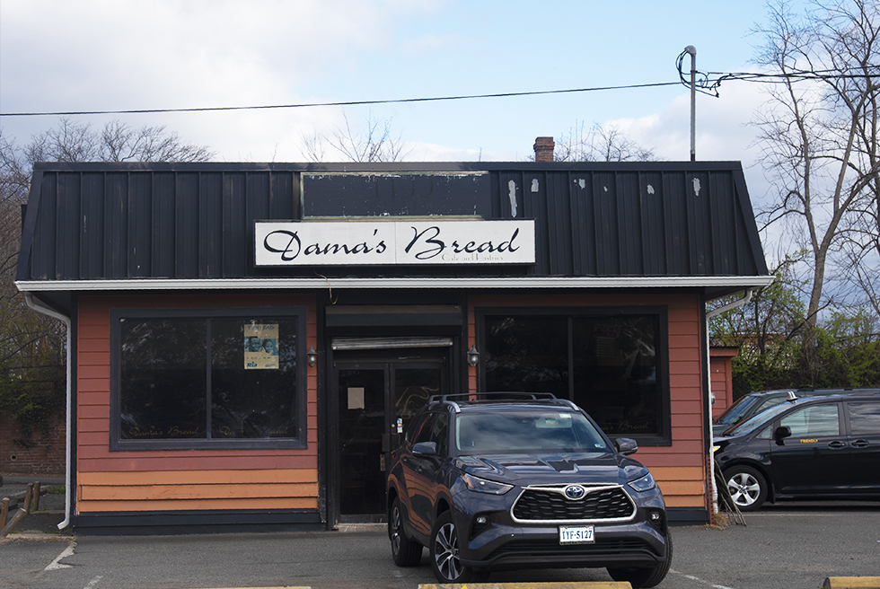
Foxcroft Height's businesses are on the northern side of Columbia Pike.
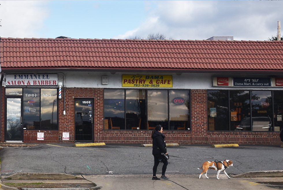
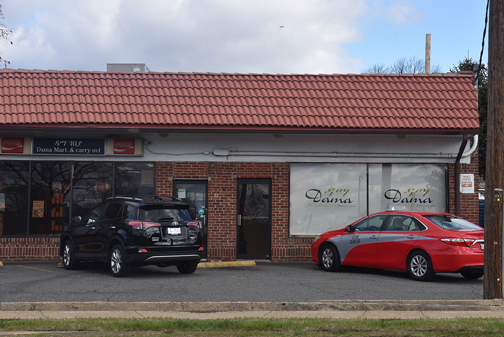
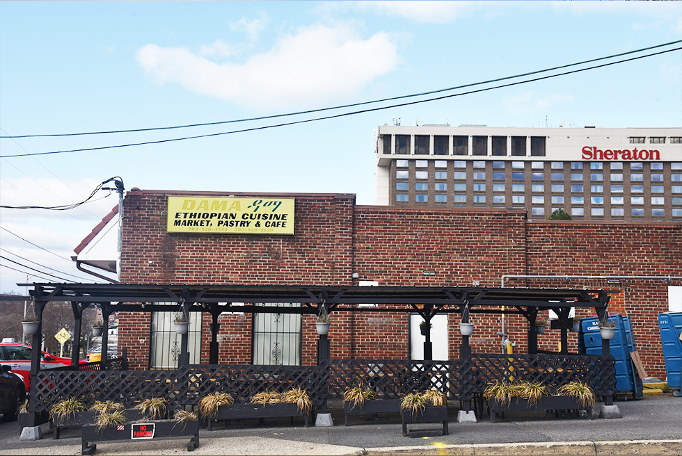
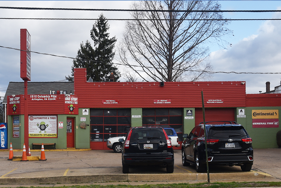
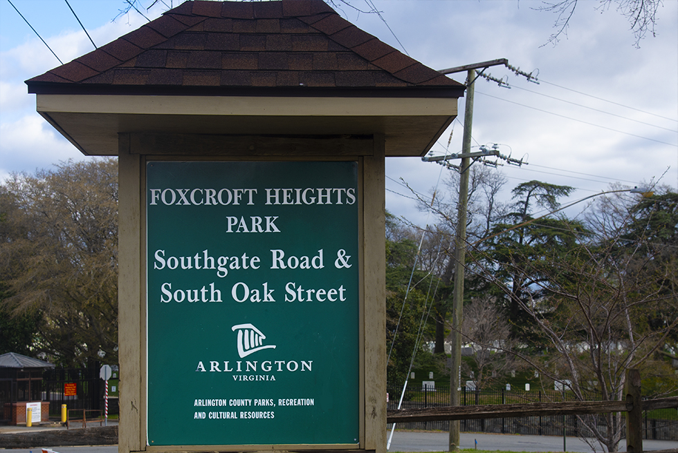
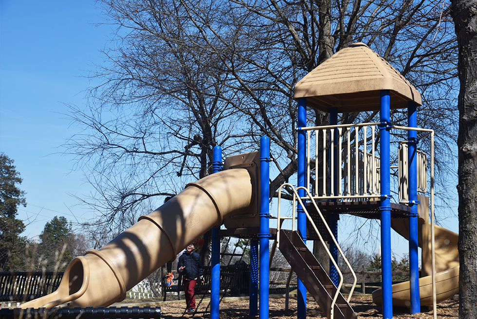
South side of the Pike: government buildings
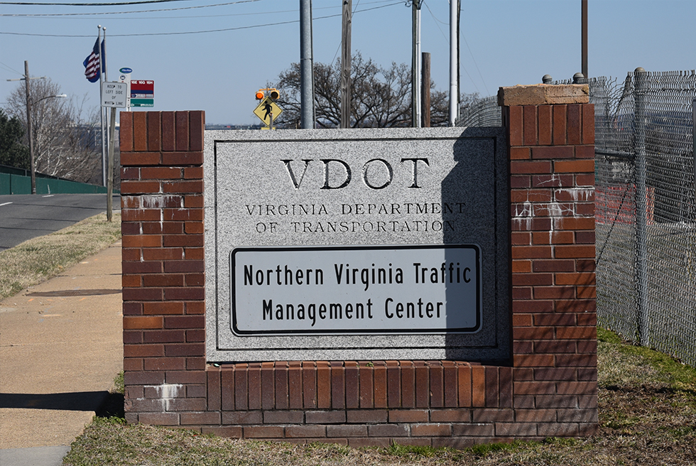
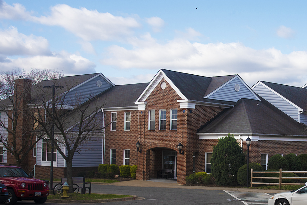
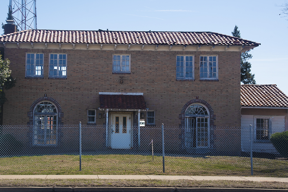
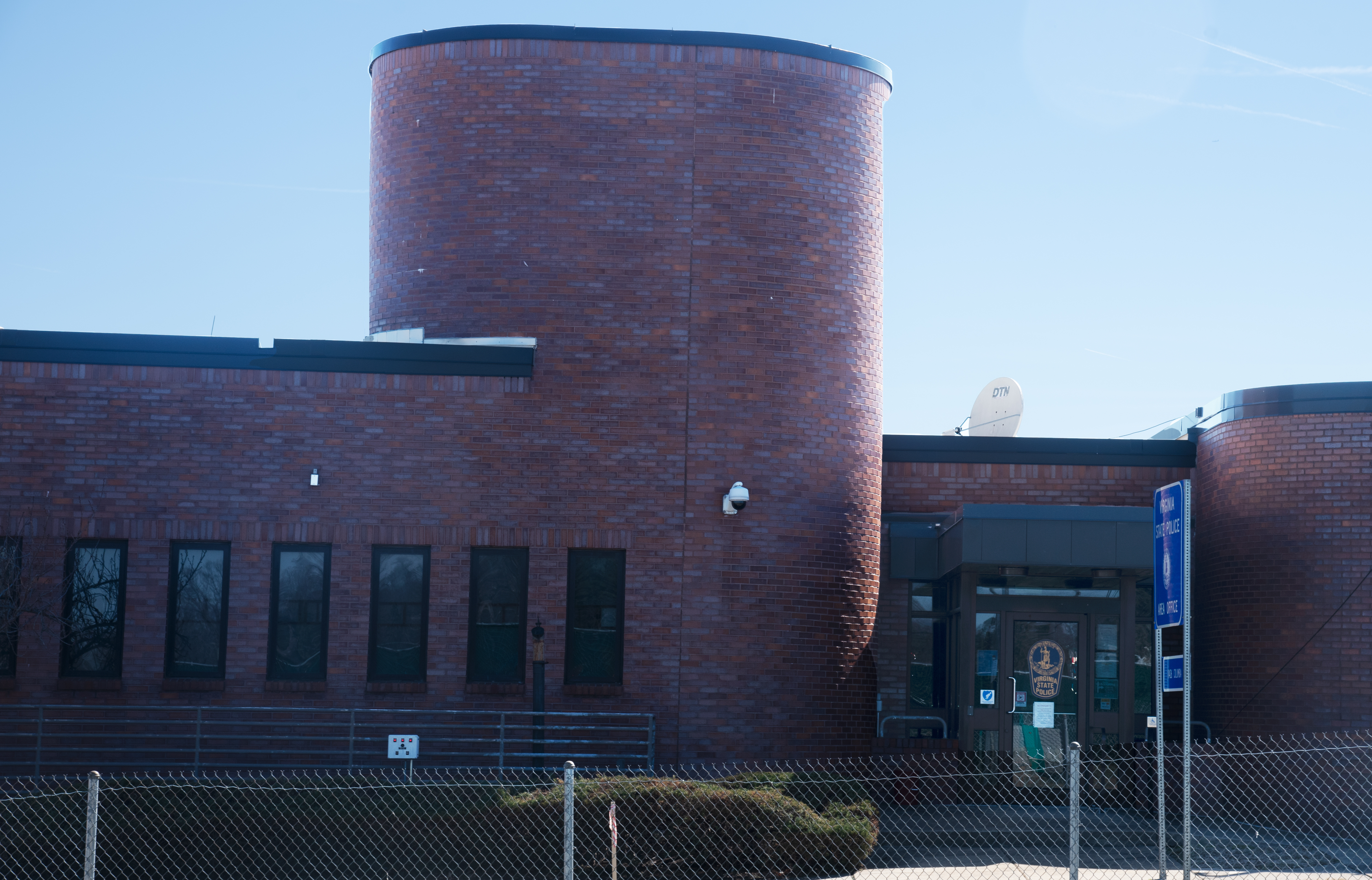
The Northern Side of Boundry Line
Related Pages
Arlington View Neighborhood (not complete yet)
Green Valley Neighborhood (not complete yet)
Penrose Neighborhood
Related Documents and Sites
A Town of Freed Slaves...
Final Placement of Cementary /Columbia Pike etc.
NC Foxcroft Heights Plan
Arlington National Cemetery Defense Access Roads
